HISTORIC MALDON DISTRICT: St Peter-on-the-Wall and 1400 years of invaders
By The Editor 13th Jan 2022


Right at the tip of the Dengie Peninsula lies the eerily beautiful relic of Roman and Saxon Britain – the Chapel of St Peter-on-the-Wall.
It lies approximately on the site of the gatehouse of the old Roman fort of Othona, and was built from the ruins by Bishop Cedd in 654. Cedd had been called down from Lindisfarne to spread Christianity among the East Saxons at the request of their King, Sigebehrt the Good.
It is therefore one of the most important surviving sites of Anglo-Saxon Christianity. It continued in use for some time, but had become unusable by 1442. It was repaired, but after the Tudor period became disused as a church, being converted into a barn – the wide filled-in barn doorway can still be seen on the south side.
It was restored and reconsecrated in 1920, and is the site of regular services held by the nearby church of St Thomas and also by the Othona Community founded after World War 2. There is an annual pilgrimage to the site.
So, what of the invasions? The chapel arose from the chaos of the fall of Rome, the Saxon and later Viking invasions, and the contest between Christianity and Paganism. It is also on the fringes of habitable land, and as early as 1099 it is suggested that a massive tide demolished much of the remains of the Roman fort, though the chapel was left intact.
In the 1798 the present Linnett's Cottage was built next to the chapel as a signal station to give early warning of French invasion.
Fast forward to 1955 and we see the debate on the first Bradwell Nuclear Power Station. The enquiry, which lasted just five days, focused more on the threat to the oyster beds than the chapel. The scheme was approved, and in spite of the proximity of the decommissioned reactor you can still lose yourself in this magical spot.
This looks less possible with the significantly bigger scheme for Bradwell B, which threatens to overwhelm both the chapel and the nearby historic RAF Bradwell Bay fighter station.
Also in the 1950s the chapel faced a very different threat – over ambitious restoration plans drawn up by Laurence King, the Chelmsford Diocesan surveyor. This would have seen it extensively rebuilt to resemble his speculative idea of a Saxon church. Its listing in 1959 saved it in its current simple form.
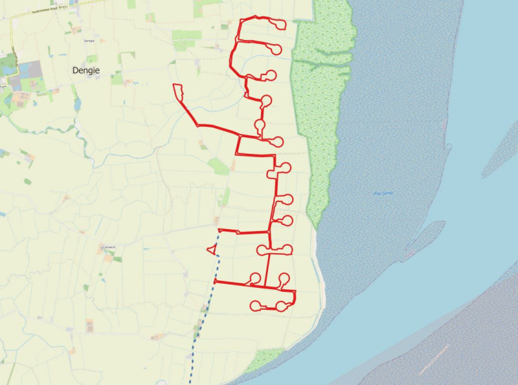
Ironically the Bradwell B plans are (in my view) overshadowed by the threat of rising sea levels. Climate Central is a global interactive map based on peer-reviewed scientific projections on rising sea levels based on current trends. The map I have included is based on possible 2050 sea levels at current trends (but excluding the more alarming version which adds in probable annual floods).
On this projection, the chapel is bravely still standing, albeit with water literally lapping at the walls at high tide, while much of the surrounding saltmarsh and grazing land has been abandoned to the sea.
People may dispute this forecast, but careful consideration will have to be given to this in planning for a reactor.
CHECK OUT OUR Jobs Section HERE!
burnhamanddengie vacancies updated hourly!
Click here to see more: burnhamanddengie jobs
Share: